
Home · Science · Sep 24 archive
Aerial Maps Show Woodland Expansion in Scotland's Cairngorms
Developing
In Short: A University of Cambridge-led team has used aerial surveys across a vast swath of the Cairngorms National Park in Scotland to create detailed 3D maps that show the beginnings of large-scale recovery of native woodlands.
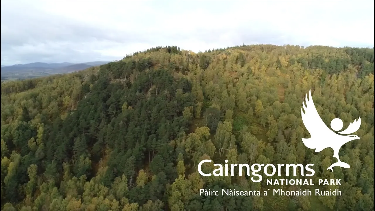
The maps, supported by an AI method of analyzing data, revealed more than 6 million individual trees across the 569 km² survey area, along with the exact height of every tree.
The new LiDAR-based method is excellent at tracking where new woodlands are establishing across the landscape, and also for tracking the impacts of fires, which are increasing in severity with climate change, according to Dr. Pip Gullett of the Cairngorms Connect partnership.
The maps document a success story for the Cairngorms Connect nature restoration partnership, which has been managing deer populations across 60,000 hectares to allow young trees to spread naturally into areas where woodlands have been missing for centuries.
The study, published in the Journal of Applied Ecology, highlights the potential for this method to monitor large-scale woodland expansion as more landowners across Scotland look to re-establish native woodlands.
What's still developing
- Airborne LiDAR has previously only been piloted for young-tree mapping, but this new study shows it can be used to survey millions of trees in 3D and accurately map natural woodland expansion.
- Editors have highlighted the following attributes while ensuring the content's credibility: A University of Cambridge–led team has used aerial surveys across a huge swath of the Cairngorms National Park in Scotland to create detailed 3D maps that show the beginnings of large-scale recovery of native woodland.
- The maps also show that habitat type matters for tree regeneration: Fewer new trees had established in boggy areas than in dry heathlands.