
Home · World · Sep 30 archive
Texas A&M Researchers Aid Gulf Coast Communities in Hurricane Planning
Confirmed
In Short: Texas A&M University researchers are collaborating with local, state, and federal emergency partners to map storm-surge risks, identify vulnerable communities, and plan evacuation routes for Gulf Coast hurricanes.
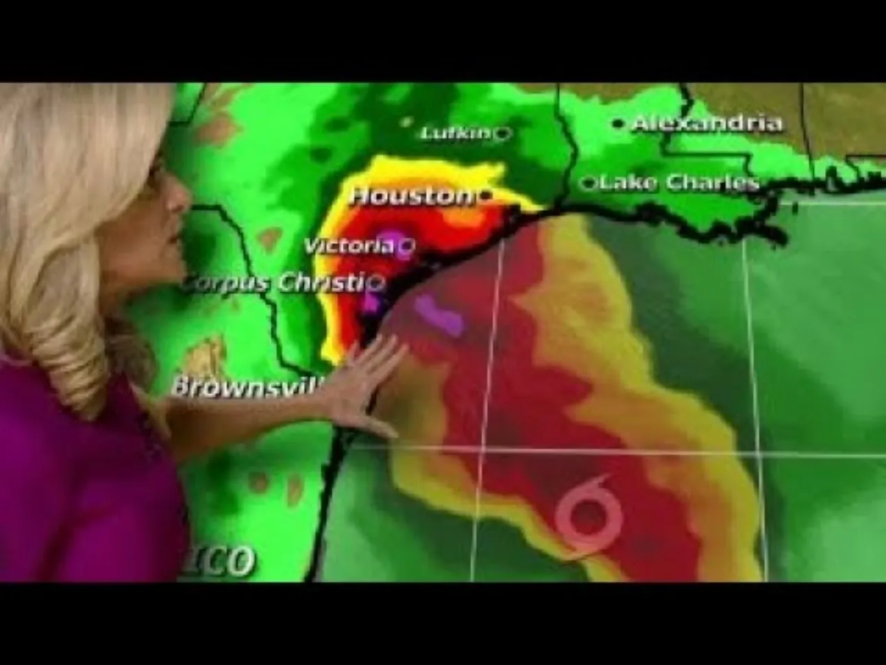
Texas A&M University researchers are collaborating with local, state, and federal emergency partners to map storm-surge risks, identify vulnerable communities, and plan evacuation routes for Gulf Coast hurricanes.
For communities along the Gulf Coast, hurricane season presents a recurring challenge: knowing when, where, and how to evacuate before a major storm hits.
To address this, researchers at Texas A&M University have spent more than a decade helping local, state, and federal agencies develop clear, data-driven evacuation strategies.
These organizations evaluate storm surge risks and establish evacuation zones tailored to shifting coastal populations.
David Bierling of the Texas A&M Transportation Institute (TTI) and the Hazard Reduction and Recovery Center’s director of transportation research leads the team’s behavioral studies and convened an analysis summit as part of the final Southeast Texas Study Area.
What this adds
The research collaboration aims to improve the predictability and effectiveness of evacuation plans for Gulf Coast communities, addressing the ongoing challenges posed by hurricanes.
Background
The Gulf Coast of the United States, also known as the Gulf South or the South Coast, is the coastline along the Southern United States where they meet the Gulf of Mexico. The coastal states that have a shoreline on the Gulf of Mexico are Texas, Louisiana, Mississippi, Alabama, and Florida, and these are known as the Gulf States.
What's confirmed
- Texas A&M University researchers are collaborating with local, state, and federal emergency partners to map storm-surge risks, identify vulnerable communities, and plan evacuation routes for Gulf Coast hurricanes.
- For communities along the Gulf Coast, hurricane season presents a recurring challenge: knowing when, where, and how to evacuate before a major storm hits.
- To address this, researchers at Texas A&M University have spent more than a decade helping local, state, and federal agencies develop clear, data-driven evacuation strategies.
- These organizations evaluate storm surge risks and establish evacuation zones tailored to shifting coastal populations.
- David Bierling of the Texas A&M Transportation Institute (TTI) and the Hazard Reduction and Recovery Center’s director of transportation research leads the team’s behavioral studies and convened an analysis summit as part of the final Southeast Texas Study Area.
What's still developing
- Walter Peacock, professor and principal investigator, said the research team collaborates with municipalities, county officials and federal partners that include NOAA, FEMA and the U.S. Army Corps of Engineers.
- Research suggests the source of stress may matter more for mental health than how many pressures school leaders face.
- Through these projects, researchers examine population vulnerabilities, mapped structures and transportation logistics.
- This piece is part of MI x DW, a collaboration that brings Daily Wire readers exclusive commentary and research from the Manhattan Institute’s world-class team of scholars.
- Environmental degradation caused by climate change has increased the vulnerability of Pacific Island communities.
- Toda’s programme links locally focused research to the broader international debates in the climate change-conflict-security research community.
- Michal Januszewski, a staff scientist at Google Research, told Ars that the first step is to use a form of generative AI to ensure that the areas at the site of each slice are linked up properly.
- The “connectome” provides a tool that can accelerate neurobiology research.
- The new work involved a collaboration between biologists at the Howard Hughes Medical Institute’s Janelia Research Campus and computer scientists at Google—both acknowledge that neither could have done the project without the other.
- Penn State Dickinson Law is Pennsylvania’s public law school, providing unparalleled access to high-quality education and public service through collaboration, interdisciplinary research, and experiential learning.
- When you join Penn State Dickinson Law, you benefit from the resources, history, and network of a top research university.
- Wildfires that ravage developed areas of the US tend to hit a particular kind of neighborhood: suburban, owner-occupied, and relatively well-off, new research has found.