
Home · Science · Sep 24 archive
NASA Satellite Reveals Northwest's Cloudy Cloak
Developing
In Short: NASA's Moderate Resolution Imaging Spectroradiometer (MODIS) on the Terra satellite captured images of the Pacific Northwest on September 19, 2026, at around 10:45 a.m., revealing a thick layer of clouds covering the region.
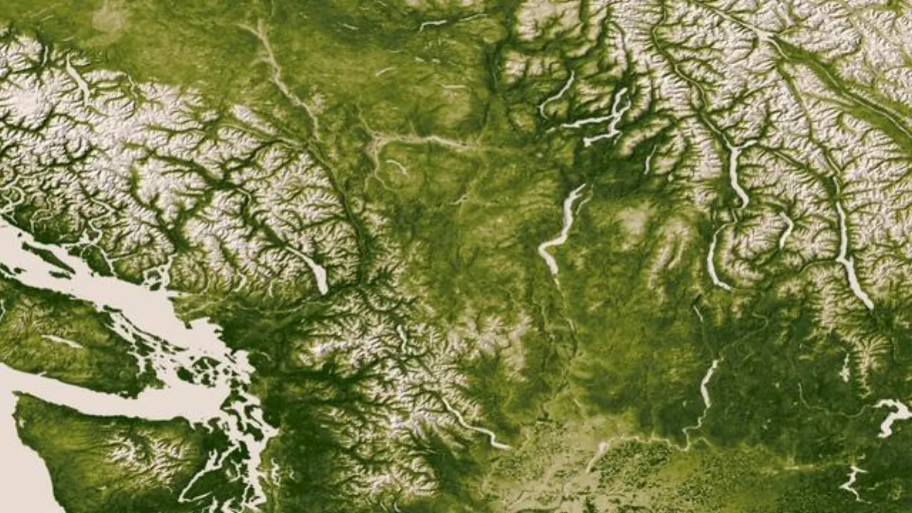
NASA's Moderate Resolution Imaging Spectroradiometer (MODIS) on the Terra satellite captured images of the Pacific Northwest on September 19, 2026, at around 10:45 a.m., revealing a thick layer of clouds covering the region.
The satellite imagery highlights a surge of cool, moist conditions that intensified early on September 19, extending cloudy conditions up to the Cascade foothills.
This cloud cover is part of a larger weather pattern affecting the Pacific Northwest, bringing cooler temperatures and increased moisture to the area.
The extent and timing of the cloud cover offer insights into the dynamics of weather systems in the Pacific Northwest, aiding in better understanding and forecasting future weather events.
What's still developing
- Nothing material beyond the confirmed record.